1 / 15
ロット 301275 · 日本の古玩・漆器・コレクション
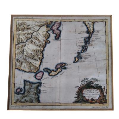
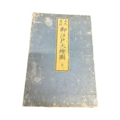
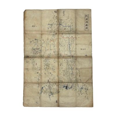
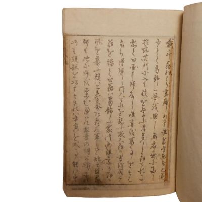
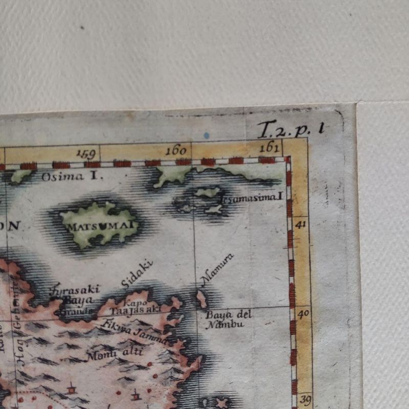
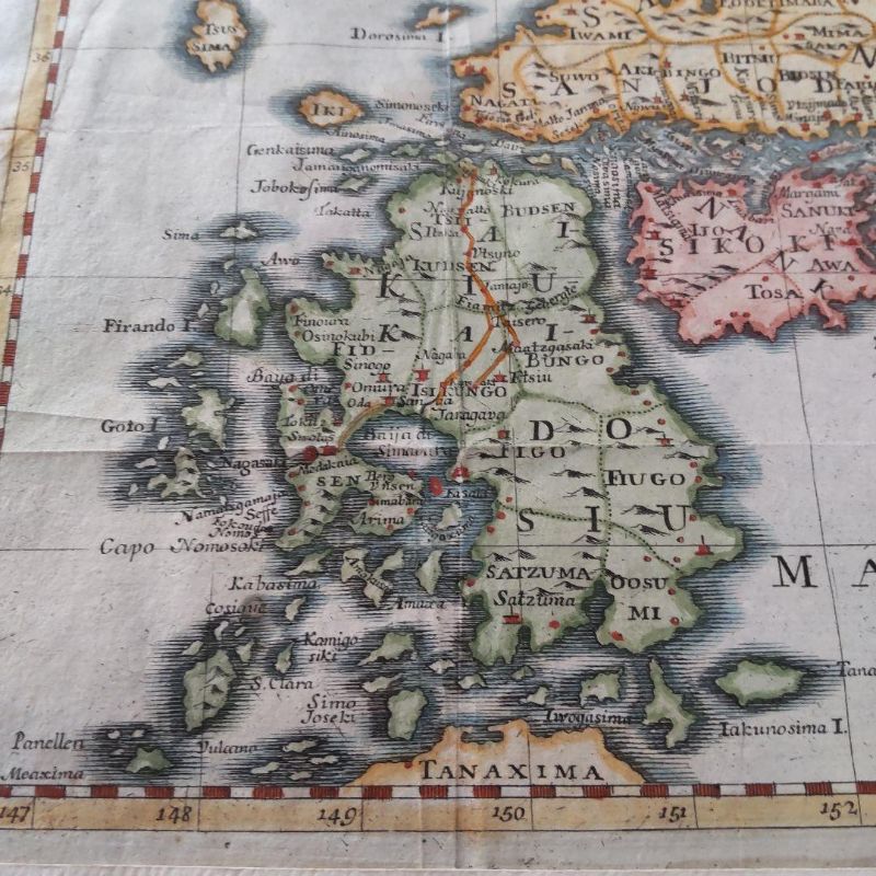
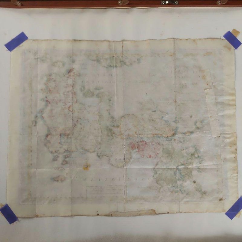
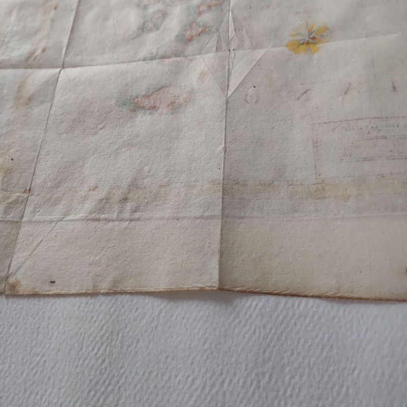
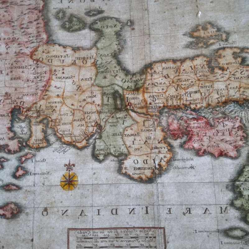
Ancient Edition Japanese Map
作品詳細
Ancient Edition Japanese Map
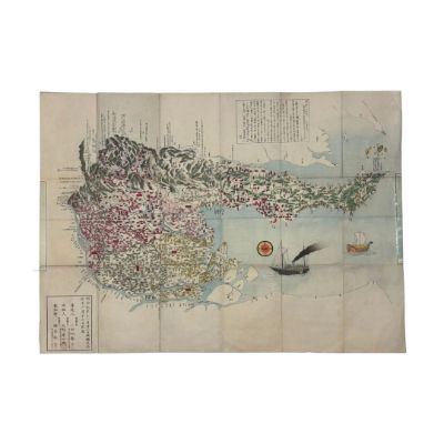
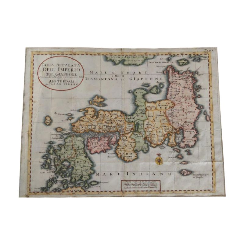
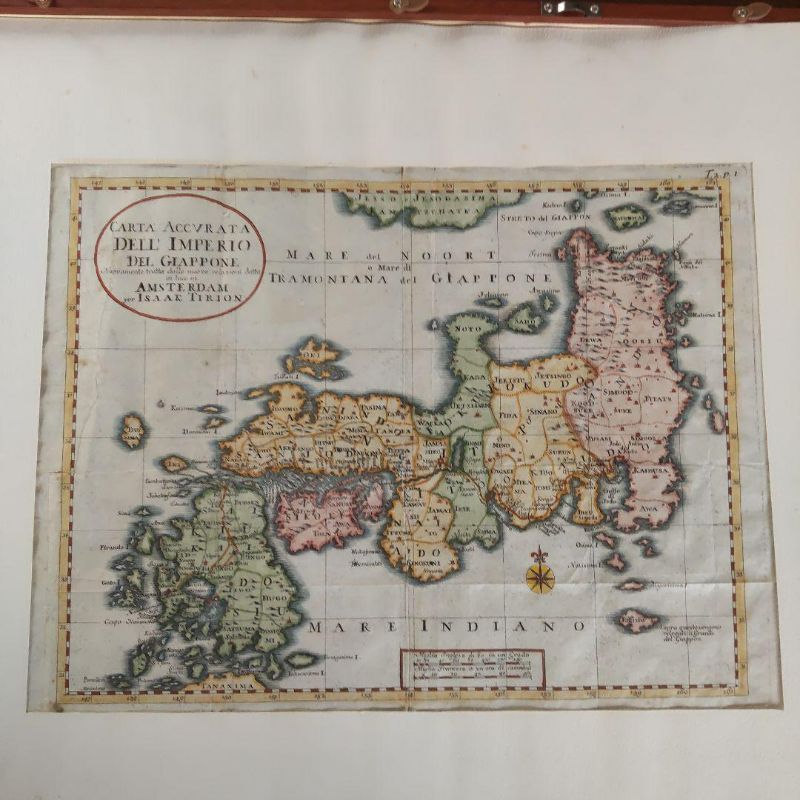
These ancient maps were created during Japan's Sakoku period, based on information relayed by Dutch, Italian, and German individuals residing on Dejima in Nagasaki, as well as through Christian missionaries to Europe. Since Marco Polo's "The Travels of Marco Polo" introduced Japan to Europe, it has been referred to as the Island of Gold. Most maps are marked with the silver mines of Iwami and the gold mines of Sado.
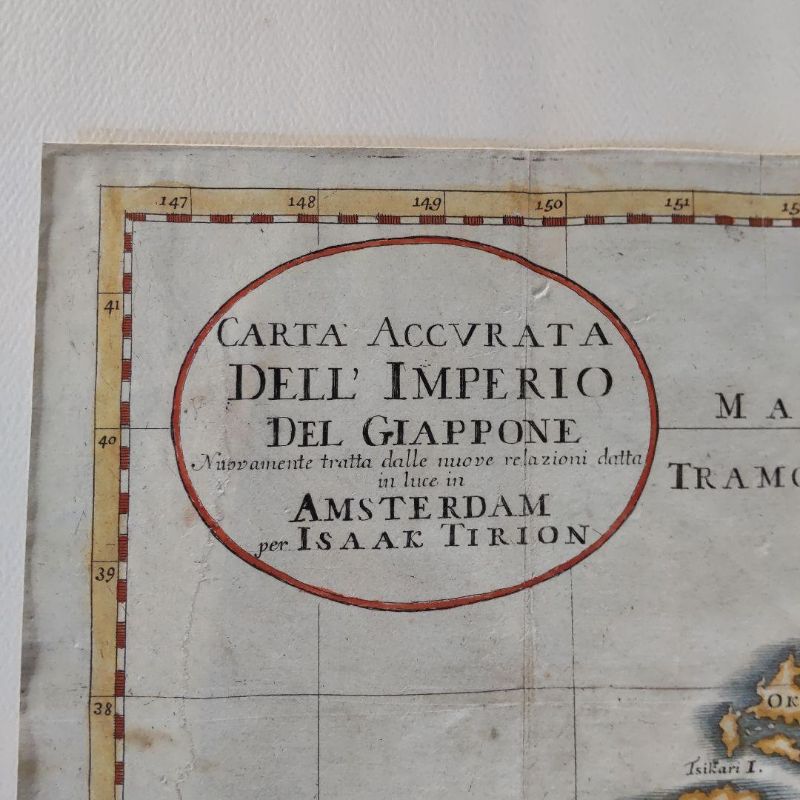
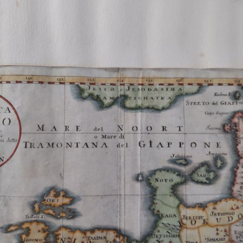
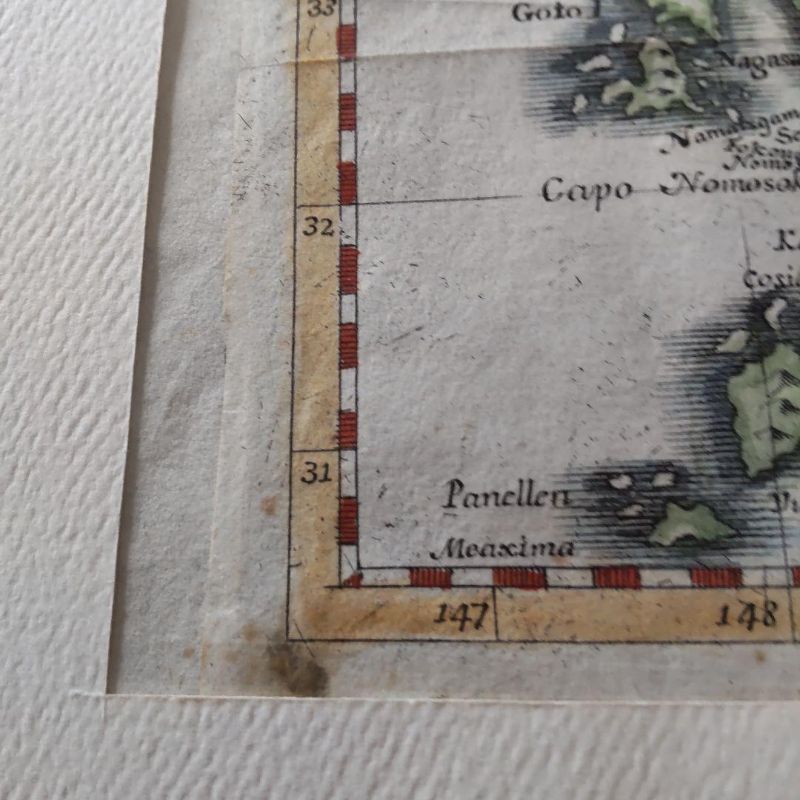
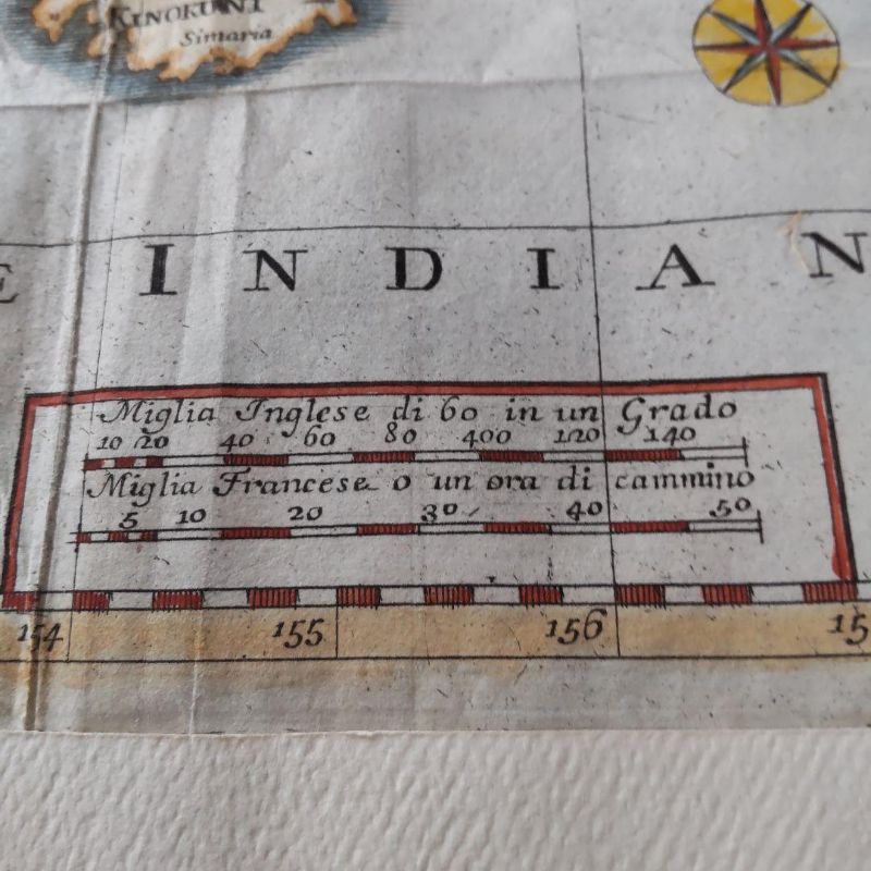
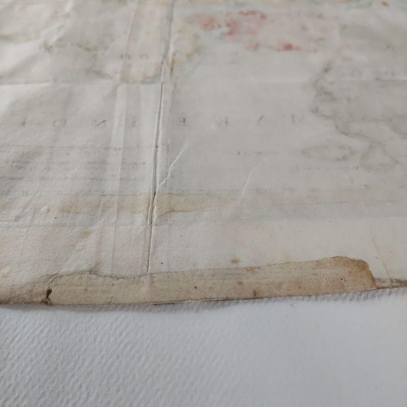
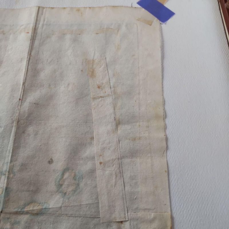
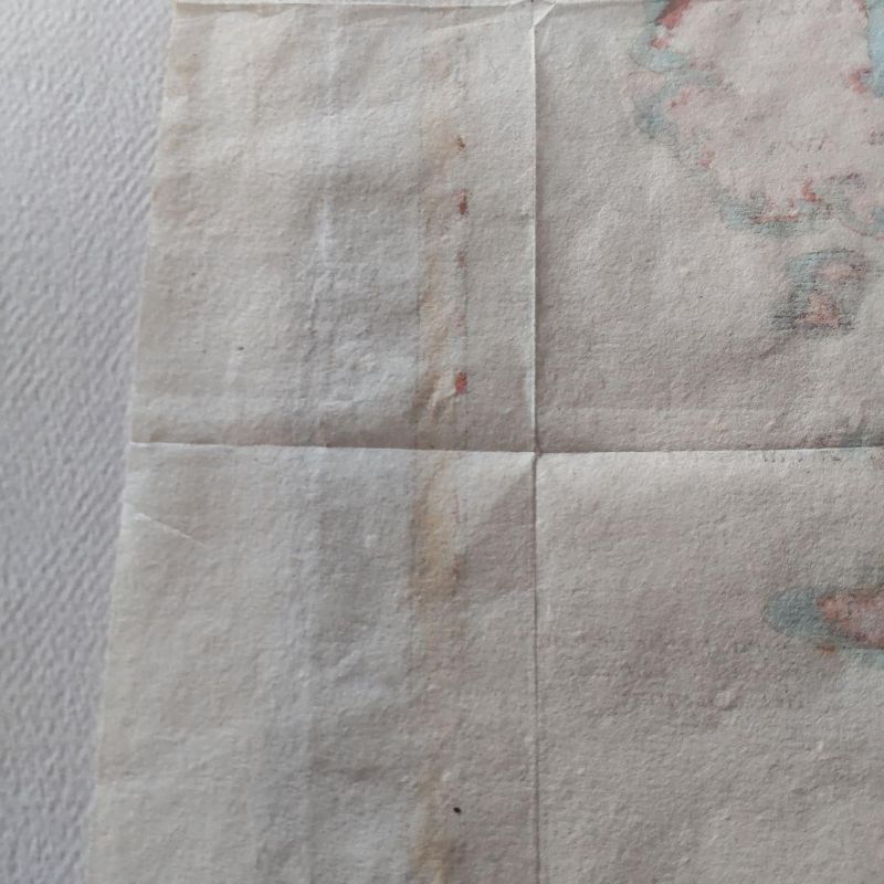
Correct Map of the Japanese Empire, Carta Accvrata Dell Imperious Del Giappone, produced by Isaac Tirion, a mapmaker from Amsterdam, Netherlands, mid-18th century, 1730-1760. Place names are marked in Italian and Latin, with Jedo (Edo) and Meaco (Kyoto) indicated. Hokkaido is marked as Ezo, without detailed annotation. Front dimensions: width 345mm, height 255mm.
- ロット
- 301275
- カテゴリ
- コレクタブル
- 予想落札価格
- £8,500 – £12,000
- 落札手数料
- 20%
配送
所在地: Tondabayashi-Shi, Osaka-Fu
お支払い確認後7〜10日以内に日本から発送します。送料は落札者負担です。
お支払い
落札後の請求とお支払いは、公式入札プラットフォーム bid.liveauction.jp で行います。
- 落札手数料
- 20%
オークション詳細