1 / 15
Lot 301275 · Japanese Antiques, Lacquerware & Collectibles
Ancient Edition Japanese Map
Starts in
Starting bid
£2,000
Next bid: £2,000
Bid nowBids are placed securely on our official bidding platform, bid.liveauction.jp. Register to bid
Bidding with confidence
- Catalogue in 10 languages, with the original text one tap away
- Secure bidding on our official platform
- Worldwide shipping from Japan
Item details
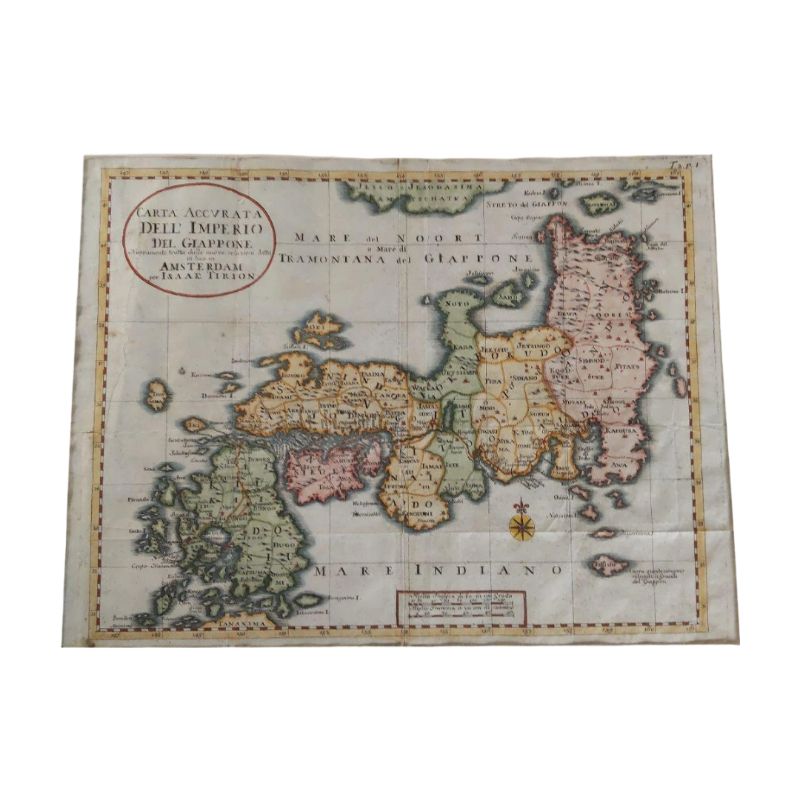
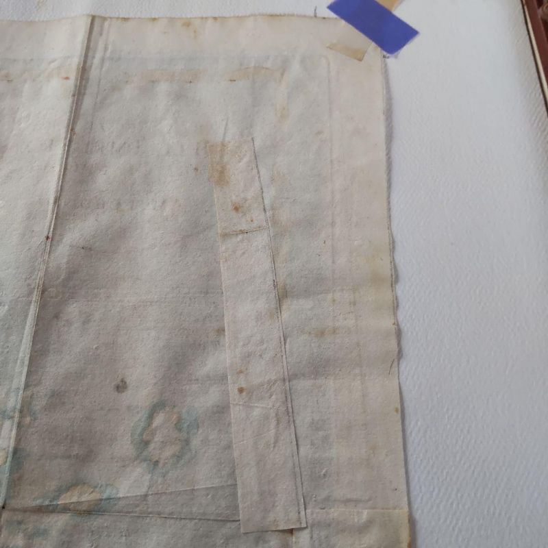
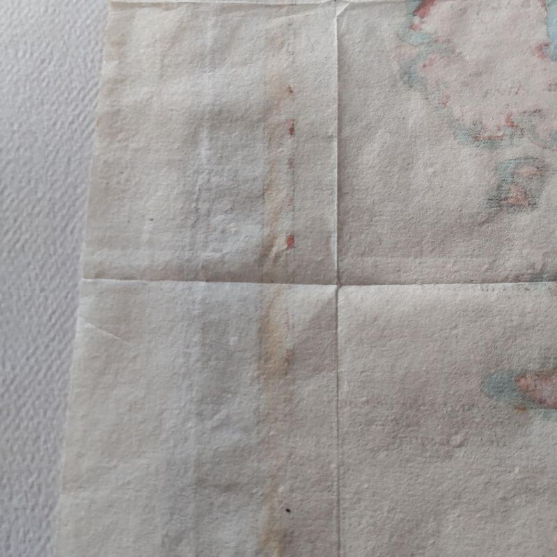
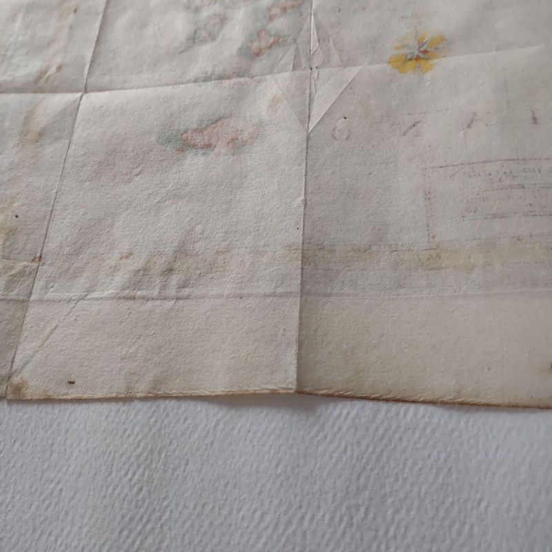
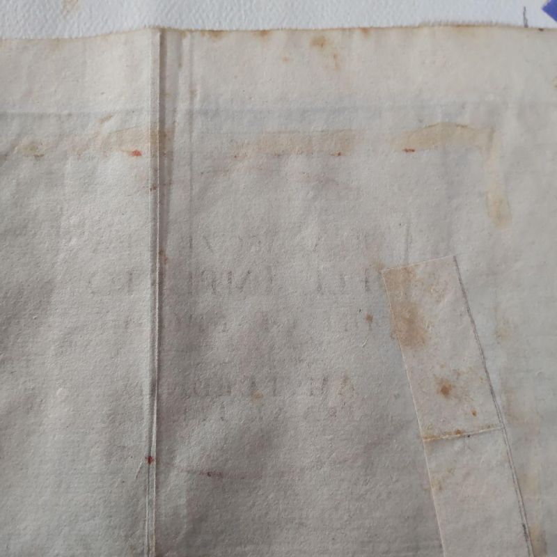
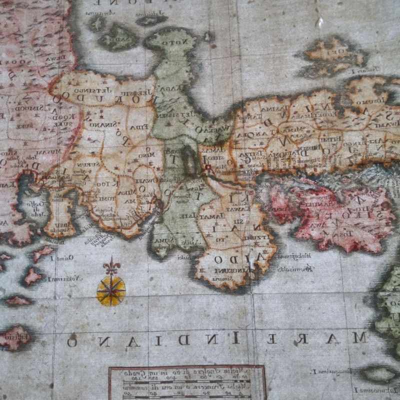
Ancient Edition Japanese Map
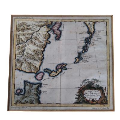
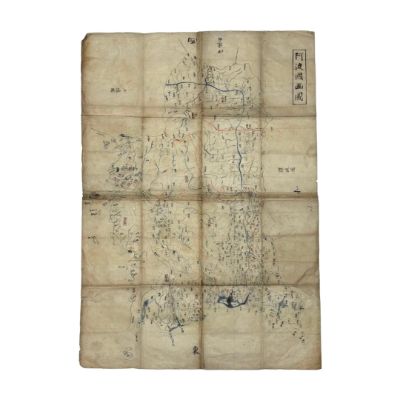
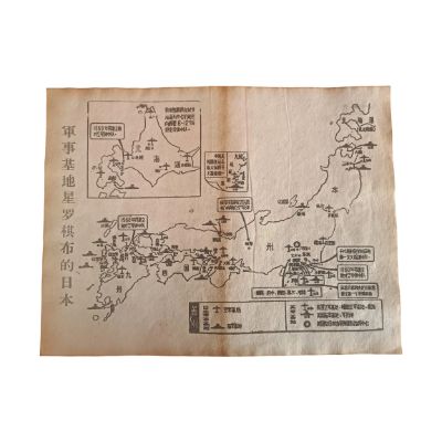
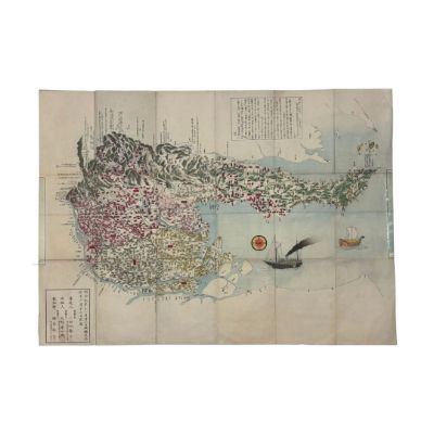
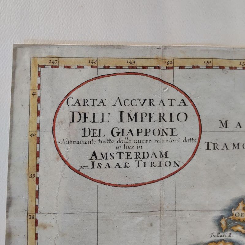
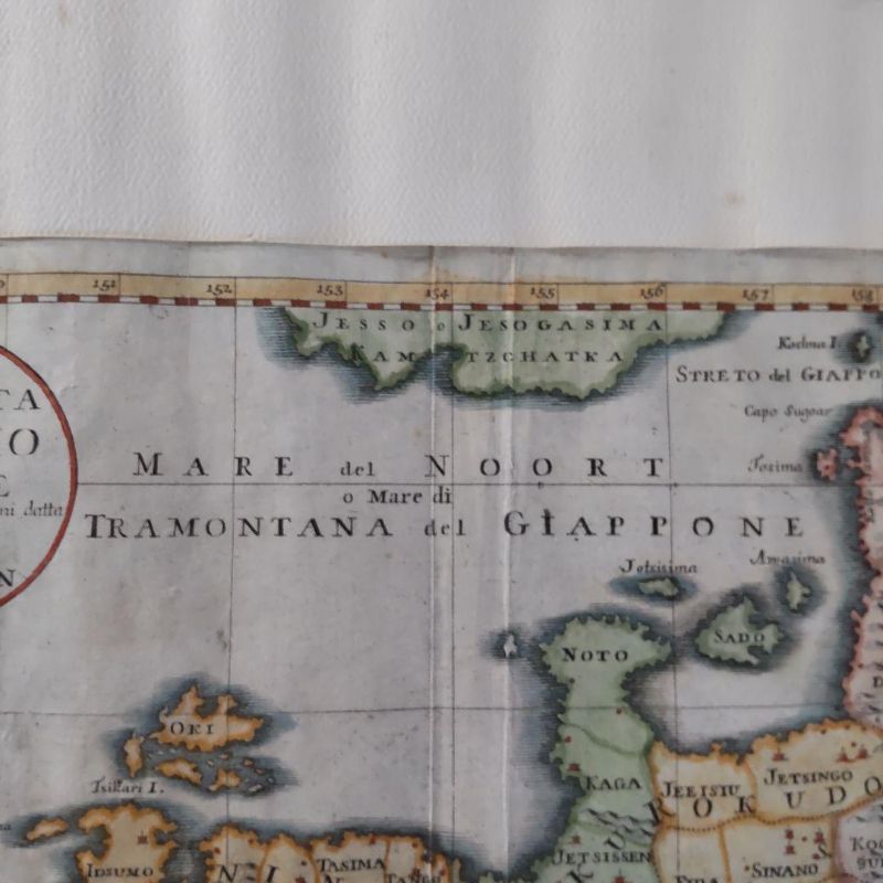
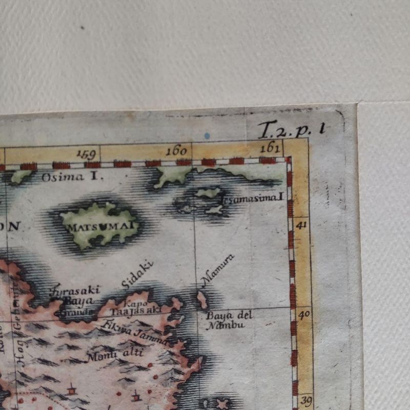
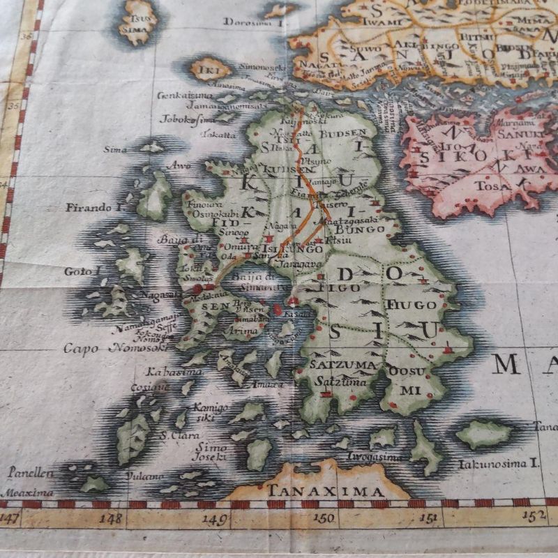
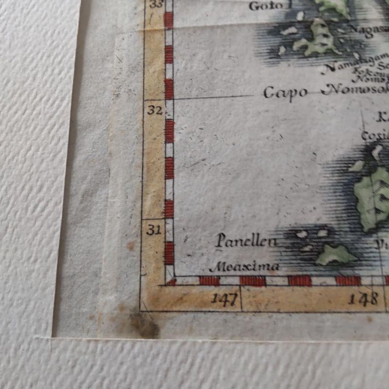
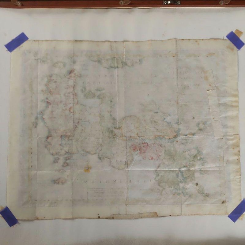
These ancient maps were created during Japan's Sakoku period, based on information relayed by Dutch, Italian, and German individuals residing on Dejima in Nagasaki, as well as through Christian missionaries to Europe. Since Marco Polo's "The Travels of Marco Polo" introduced Japan to Europe, it has been referred to as the Island of Gold. Most maps are marked with the silver mines of Iwami and the gold mines of Sado.
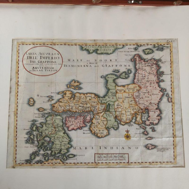
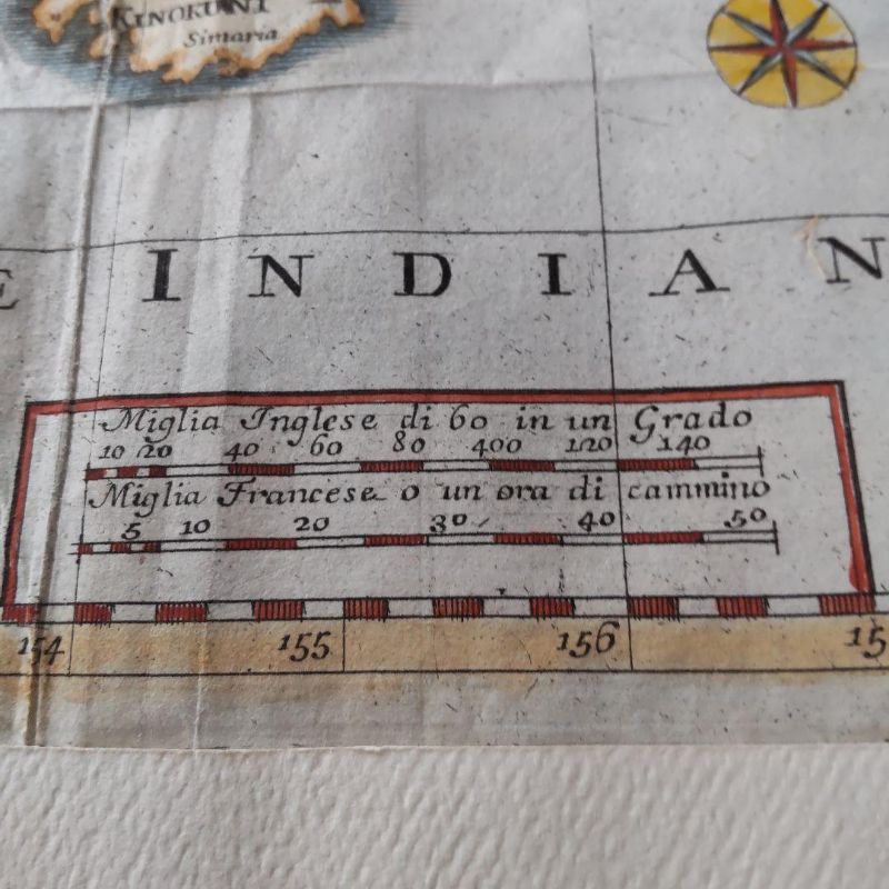
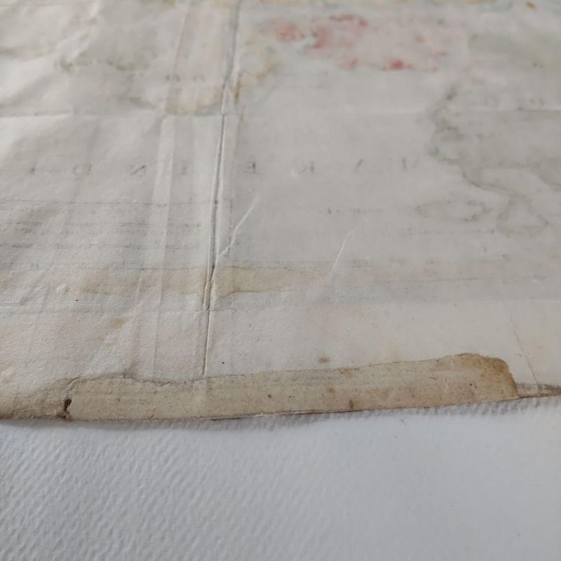
Correct Map of the Japanese Empire, Carta Accvrata Dell Imperious Del Giappone, produced by Isaac Tirion, a mapmaker from Amsterdam, Netherlands, mid-18th century, 1730-1760. Place names are marked in Italian and Latin, with Jedo (Edo) and Meaco (Kyoto) indicated. Hokkaido is marked as Ezo, without detailed annotation. Front dimensions: width 345mm, height 255mm.
- Lot
- 301275
- Category
- Collectibles
Shipping
Item located in: Osaka, Japan
Items are shipped from Japan within 7–10 days after payment. Shipping costs are paid by the buyer.
Payment
After the sale, the invoice and payment are handled on our official bidding platform, bid.liveauction.jp.
Auction details