1 / 20
ロット 301261 · 日本の古玩・漆器・コレクション
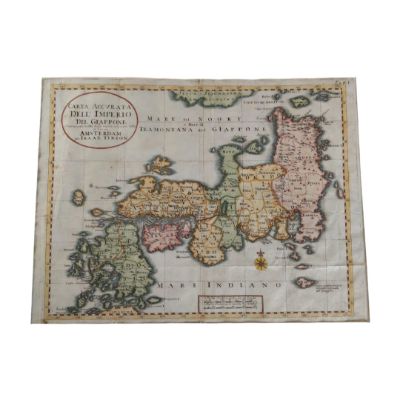
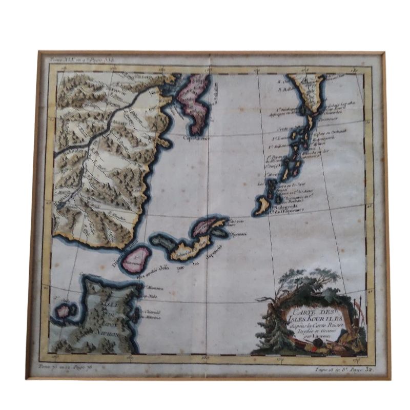
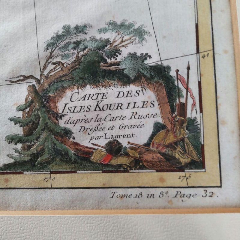
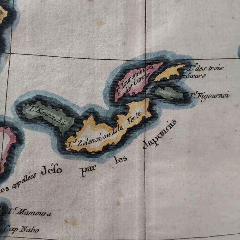
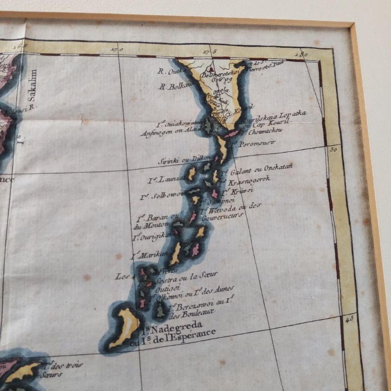
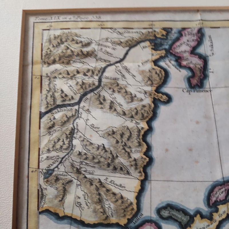
Ancient Edition Northern Territories Japon Valuable Kuril Islands Map
作品詳細
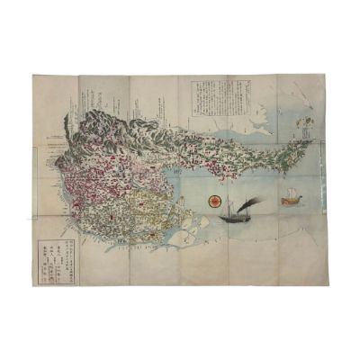
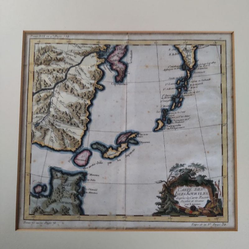
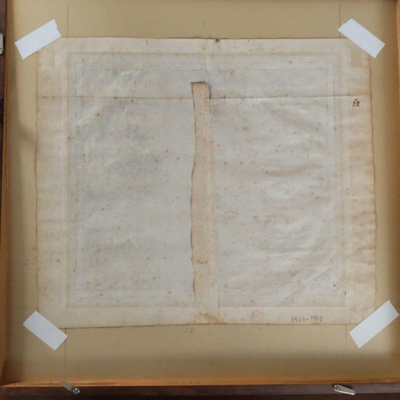
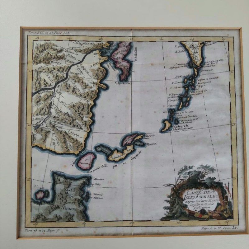
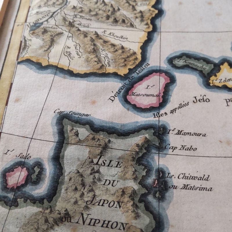
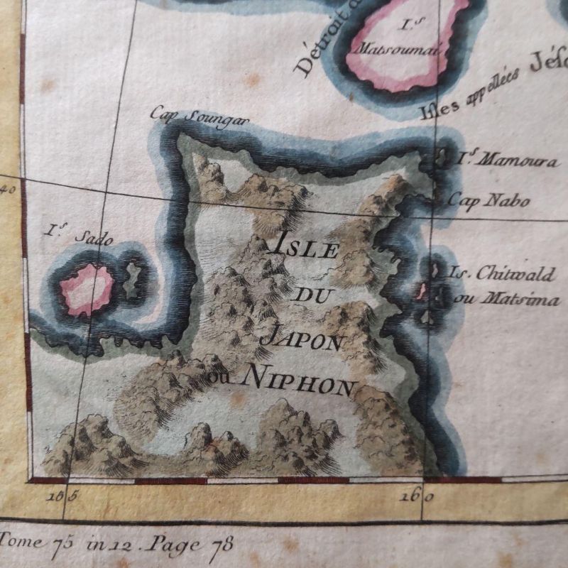
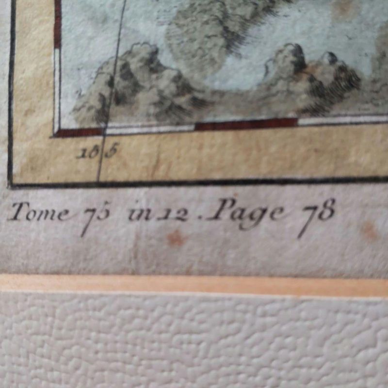
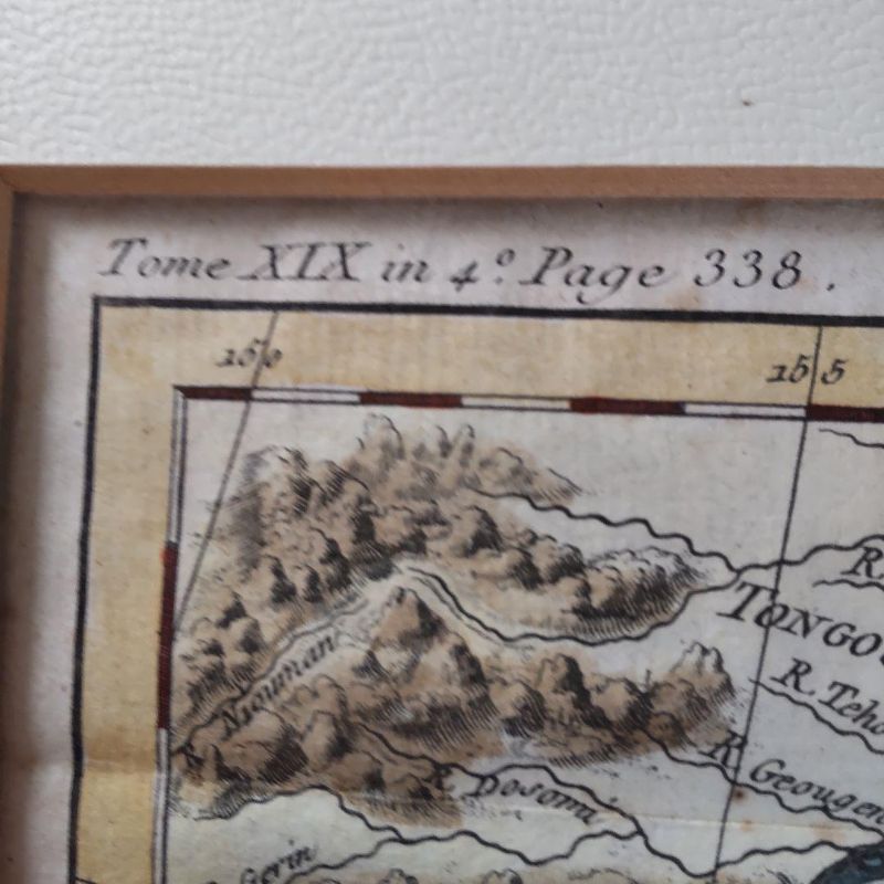
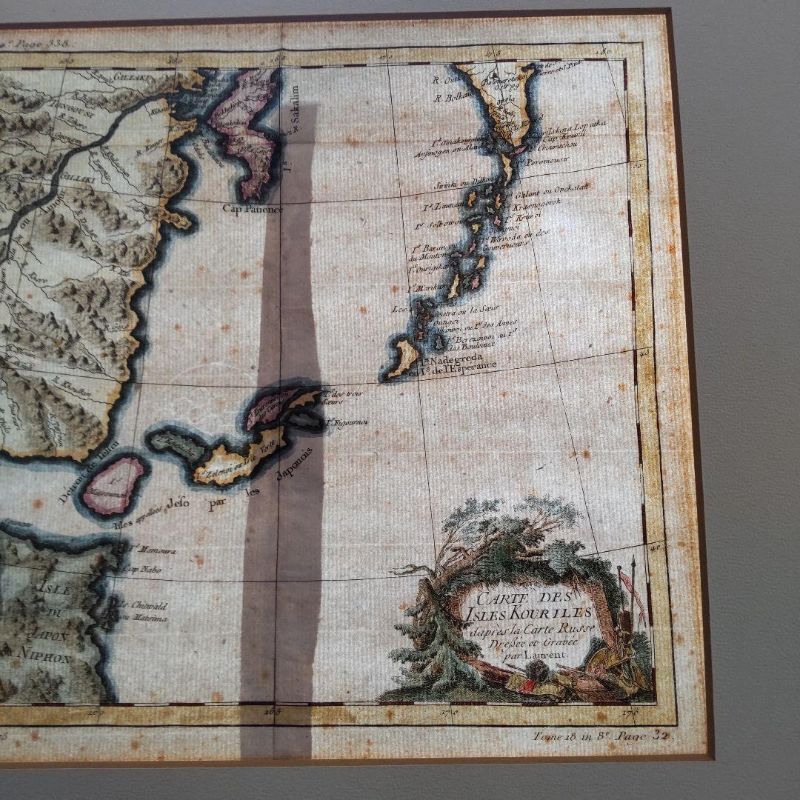
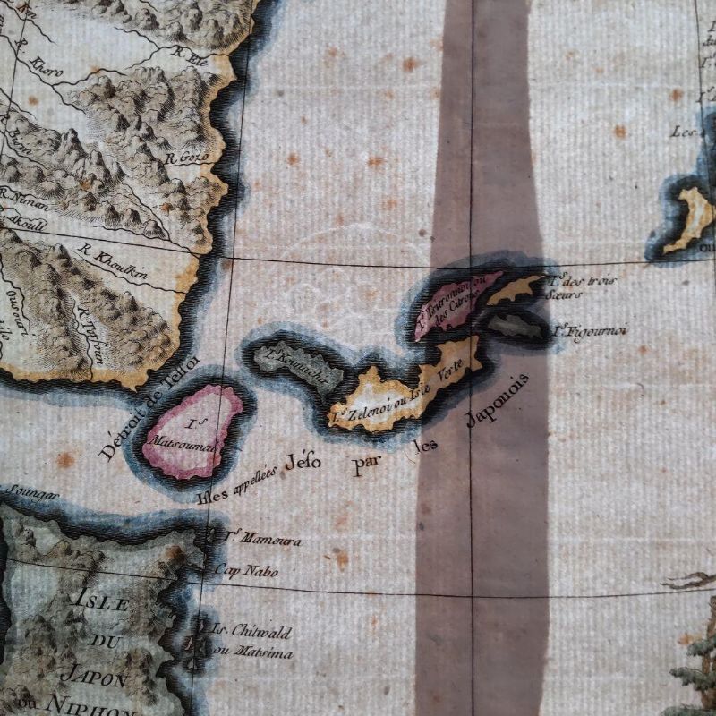
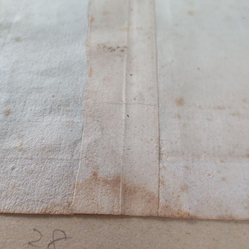
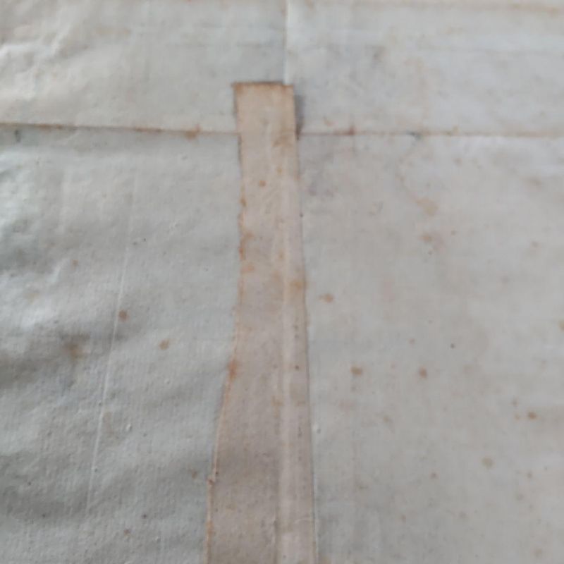
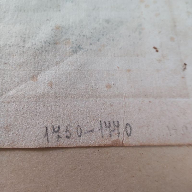
This is a map of the Kuril Islands, created and engraved by Laurent, dating from the latter half of the 18th century, 1760-1780. The map was produced in Europe in French, depicting the northern islands of Japan, with a small depiction of Hokkaido. The dimensions are 280 mm in width and 260 mm in height.
- ロット
- 301261
- カテゴリ
- コレクタブル
配送
所在地: Osaka, Japan
お支払い確認後7〜10日以内に日本から発送します。送料は落札者負担です。
お支払い
落札後の請求とお支払いは、公式入札プラットフォーム bid.liveauction.jp で行います。
オークション詳細