1 / 15
로트 301275 · 일본 고대 유물, 칠기 및 수집품
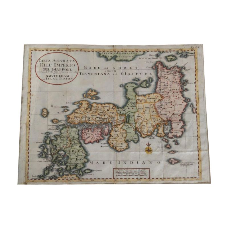
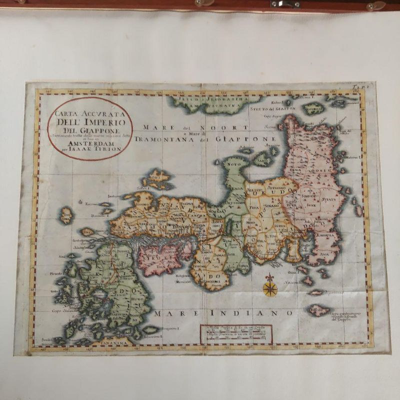
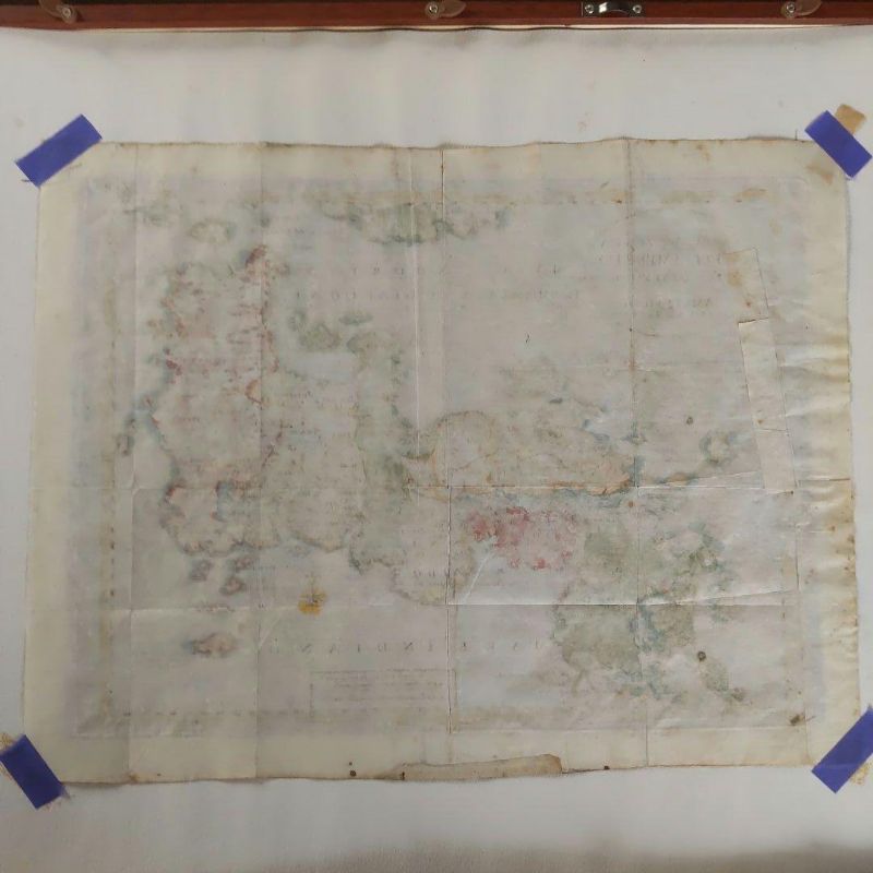
Ancient Edition Japanese Map
작품 정보
Ancient Edition Japanese Map
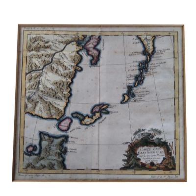
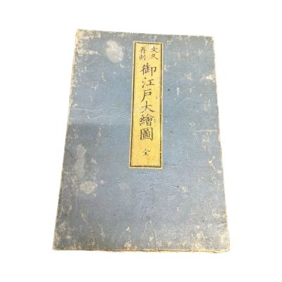
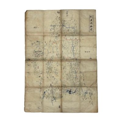
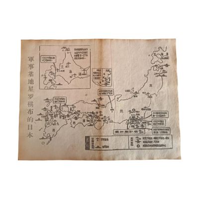
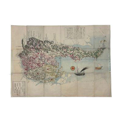
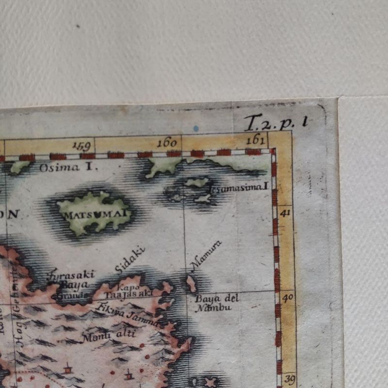
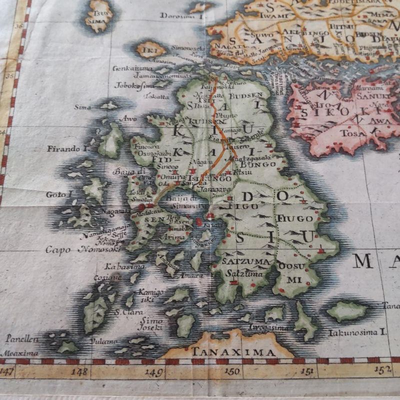
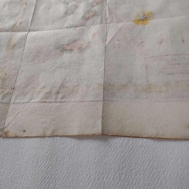
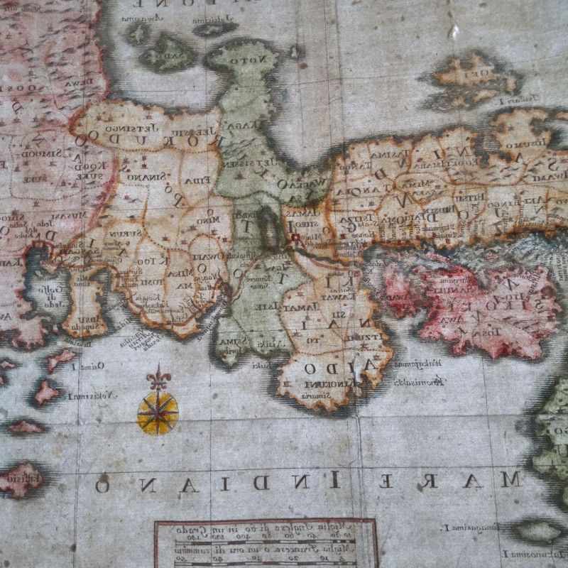
These ancient maps were created during Japan's Sakoku period, based on information relayed by Dutch, Italian, and German individuals residing on Dejima in Nagasaki, as well as through Christian missionaries to Europe. Since Marco Polo's "The Travels of Marco Polo" introduced Japan to Europe, it has been referred to as the Island of Gold. Most maps are marked with the silver mines of Iwami and the gold mines of Sado.
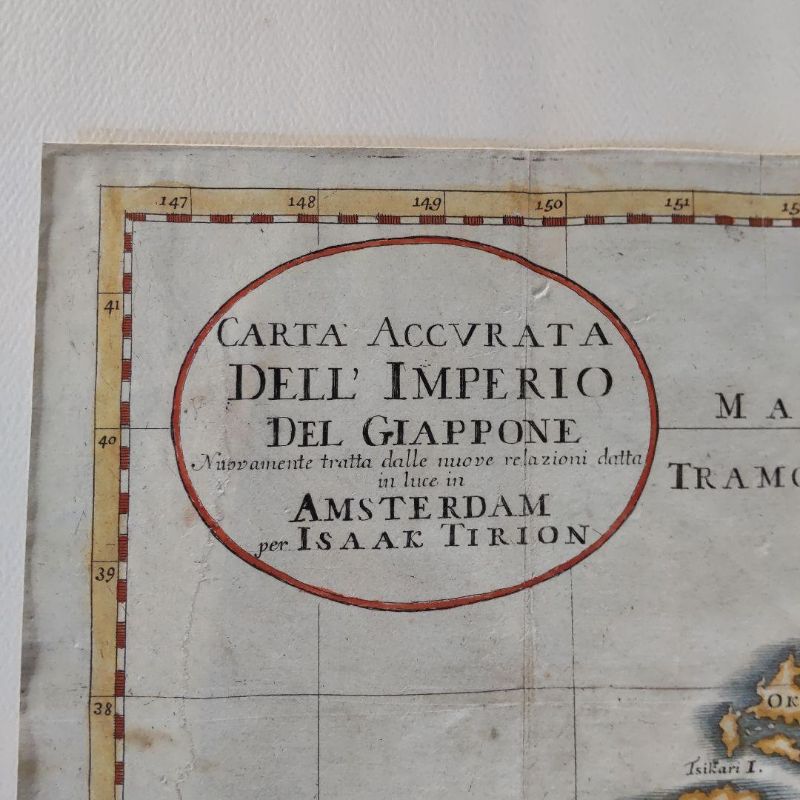
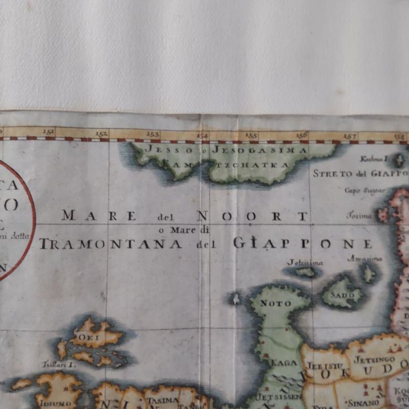
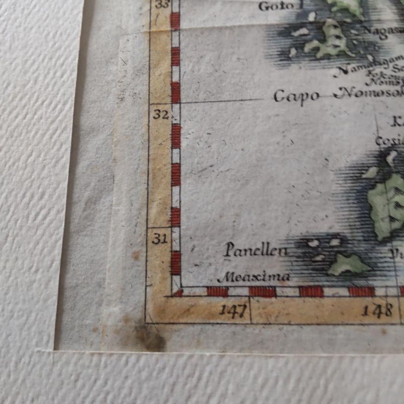
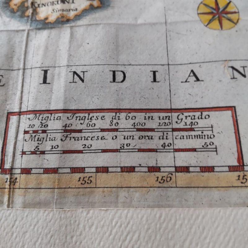
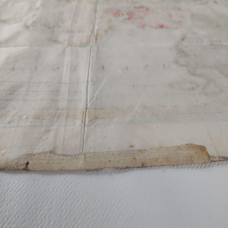
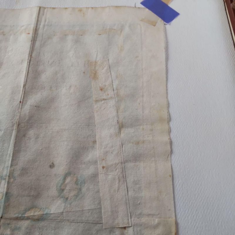
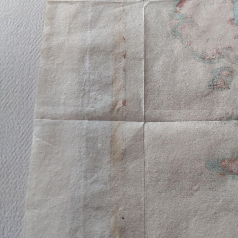
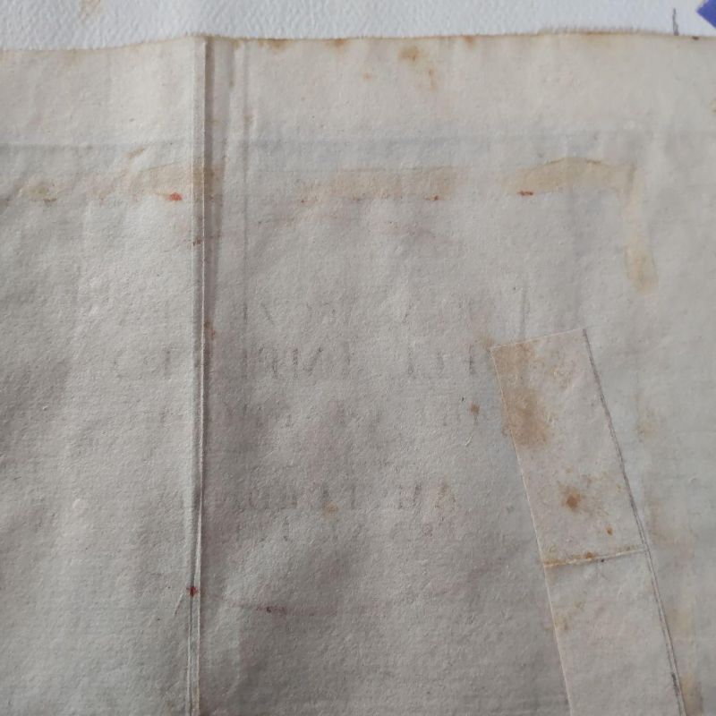
Correct Map of the Japanese Empire, Carta Accvrata Dell Imperious Del Giappone, produced by Isaac Tirion, a mapmaker from Amsterdam, Netherlands, mid-18th century, 1730-1760. Place names are marked in Italian and Latin, with Jedo (Edo) and Meaco (Kyoto) indicated. Hokkaido is marked as Ezo, without detailed annotation. Front dimensions: width 345mm, height 255mm.
- 로트
- 301275
- 카테고리
- 수집품
- 추정가
- £8,500 – £12,000
- 구매 수수료
- 20%
배송
작품 소재지: Tondabayashi-Shi, Osaka-Fu
결제 후 7~10일 이내에 일본에서 발송됩니다. 배송비는 구매자 부담입니다.
결제
낙찰 후 청구서와 결제는 공식 입찰 플랫폼 bid.liveauction.jp에서 진행됩니다.
- 구매 수수료
- 20%
경매 정보