1 / 20
로트 301261 · 일본 고대 유물, 칠기 및 수집품
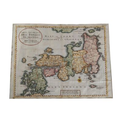
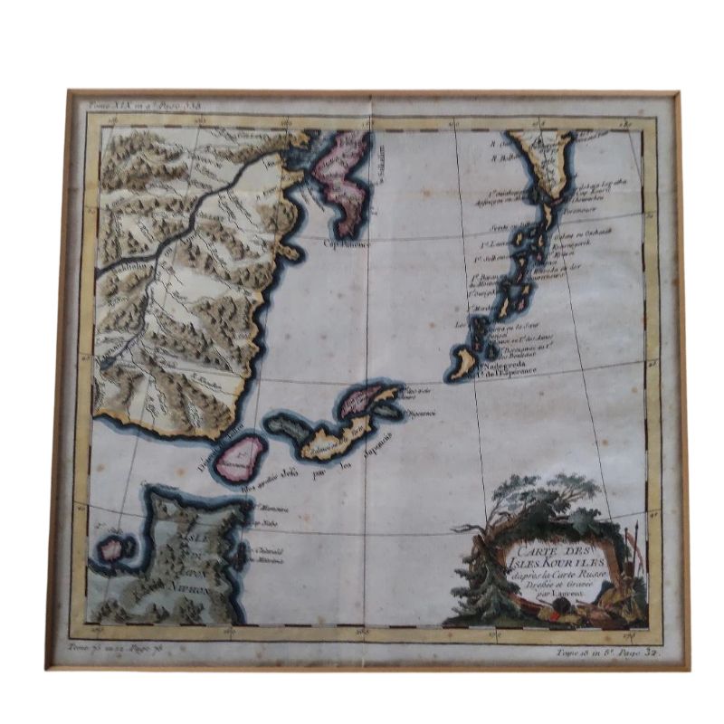
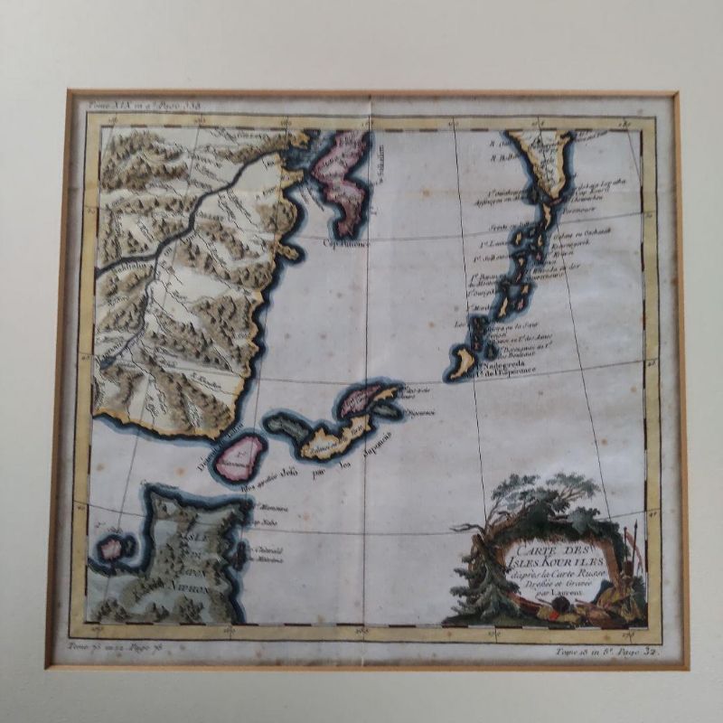
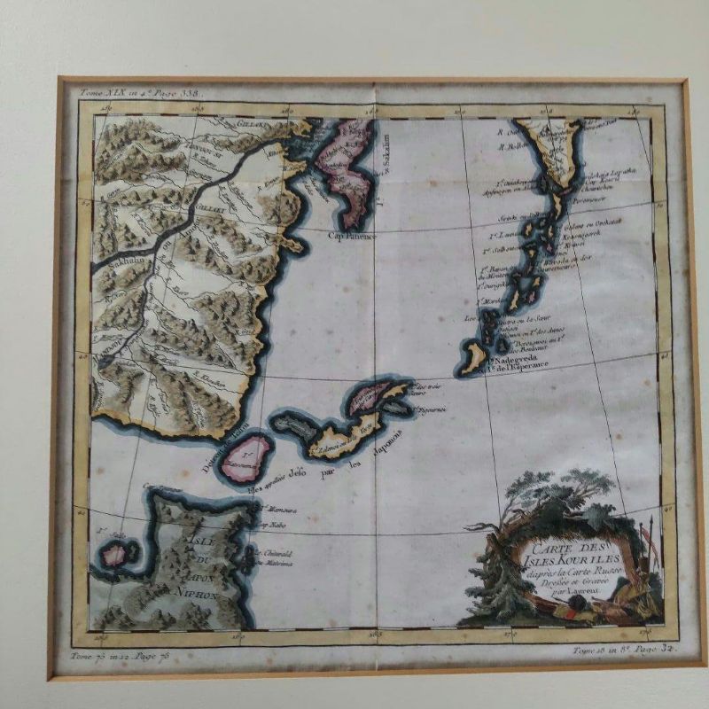
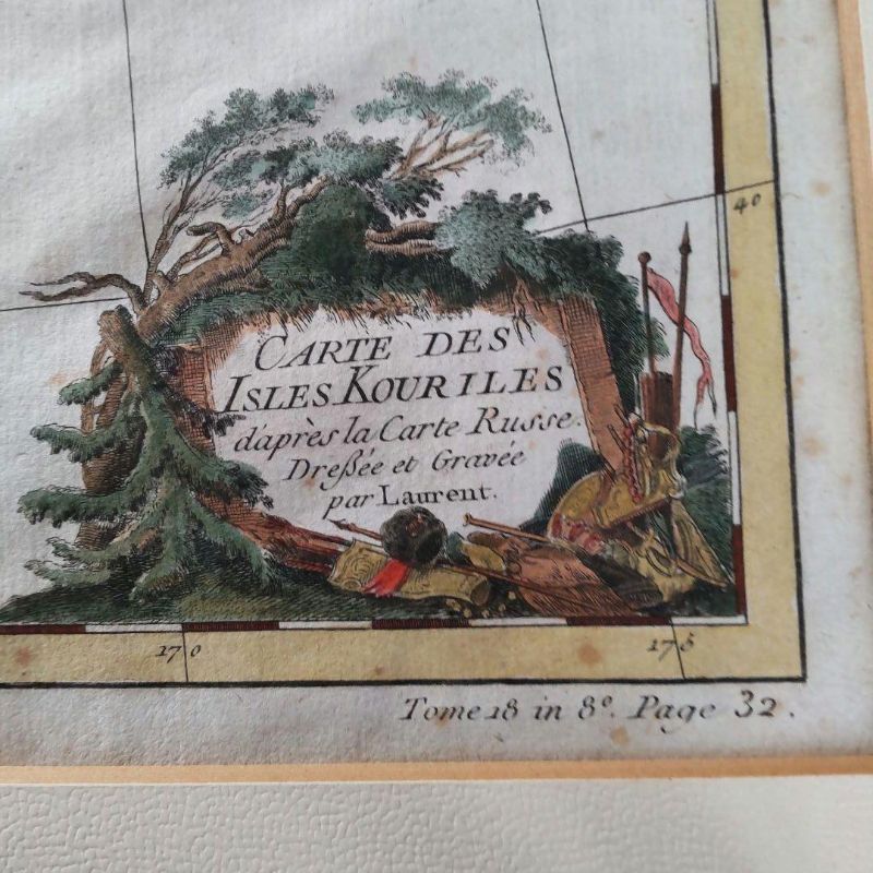
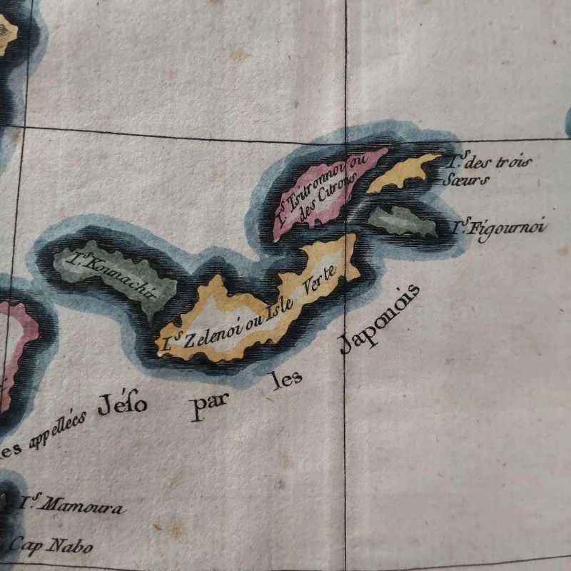
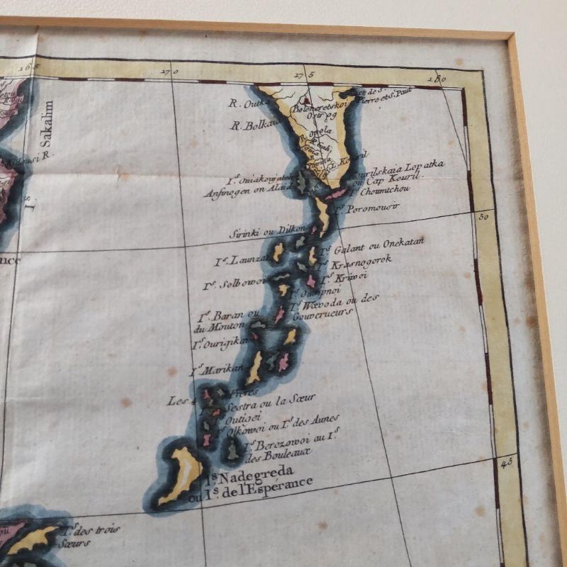
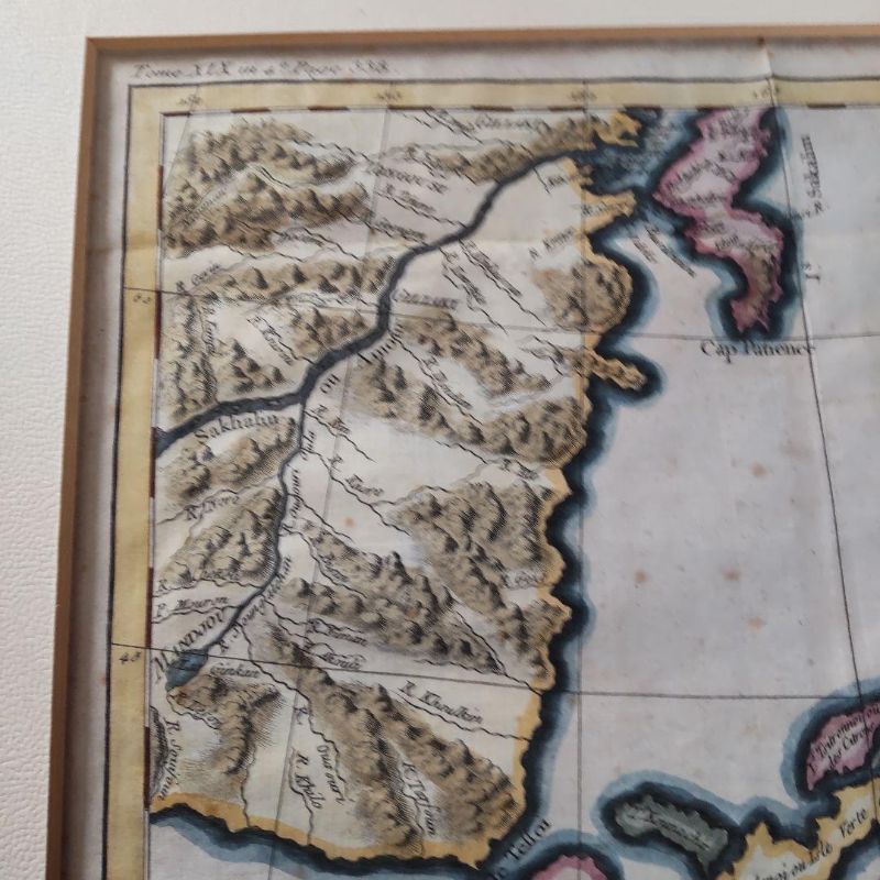
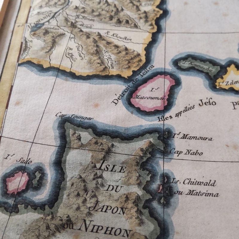
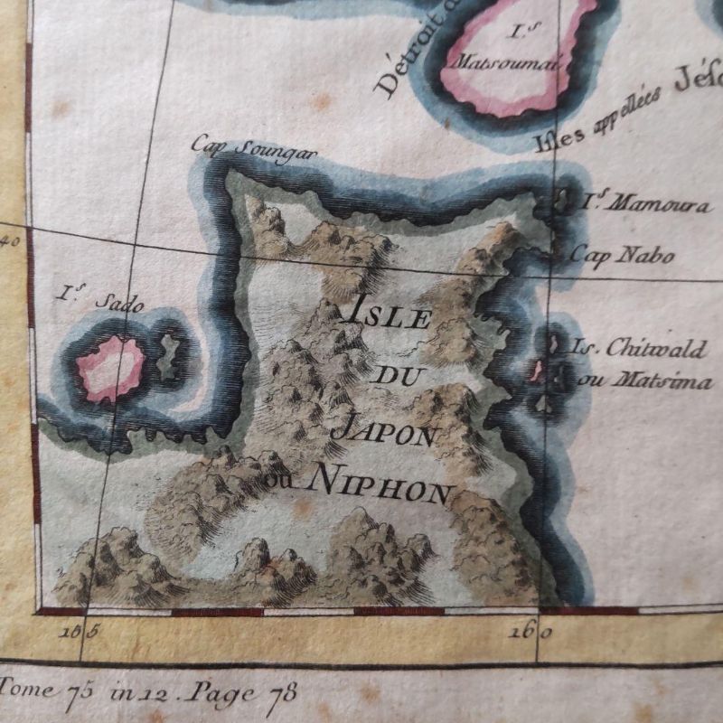
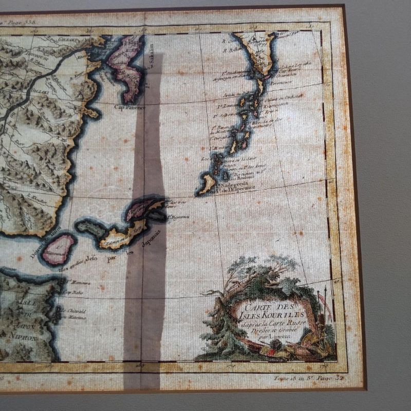
Ancient Edition Northern Territories Japon Valuable Kuril Islands Map
작품 정보
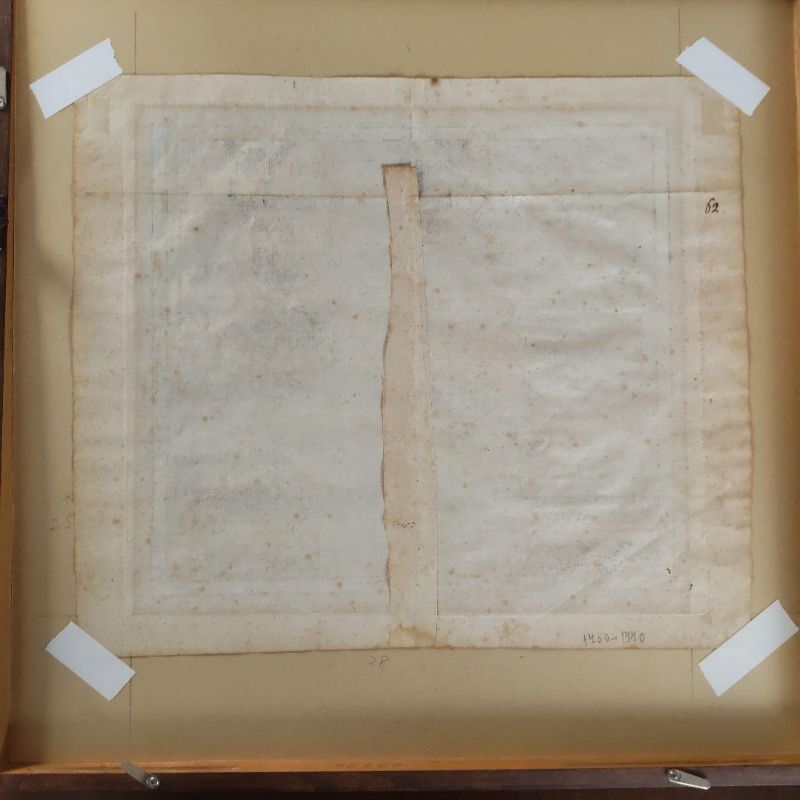
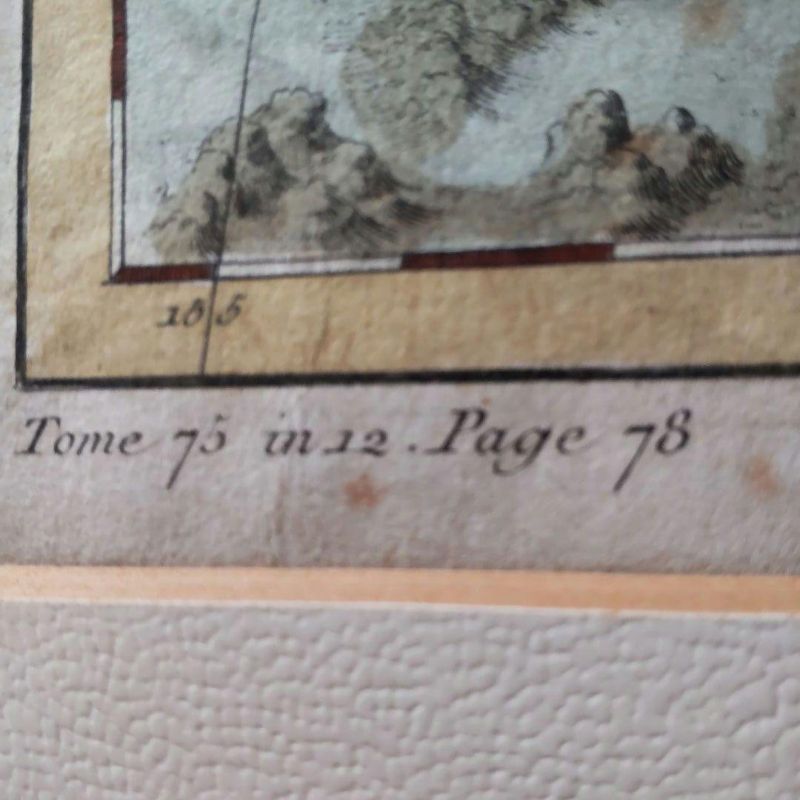
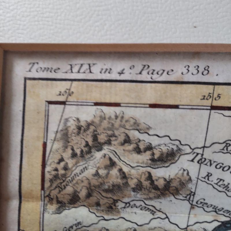
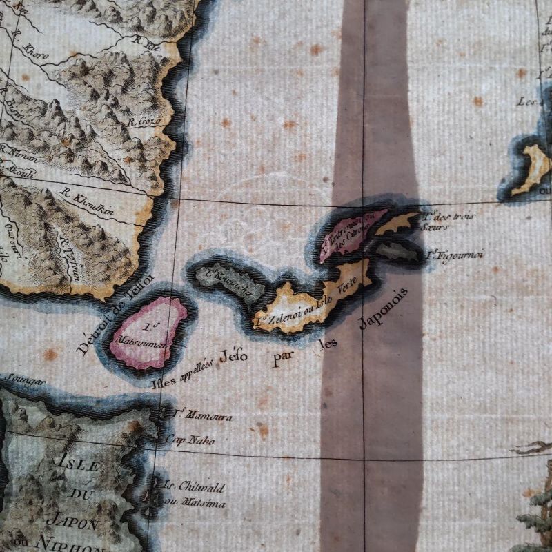
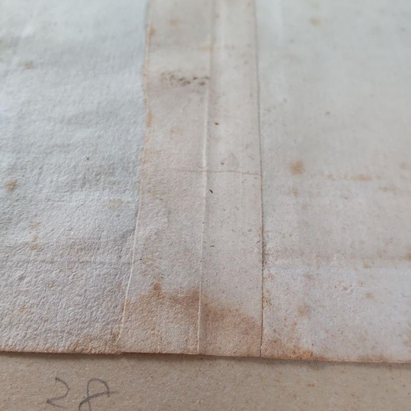
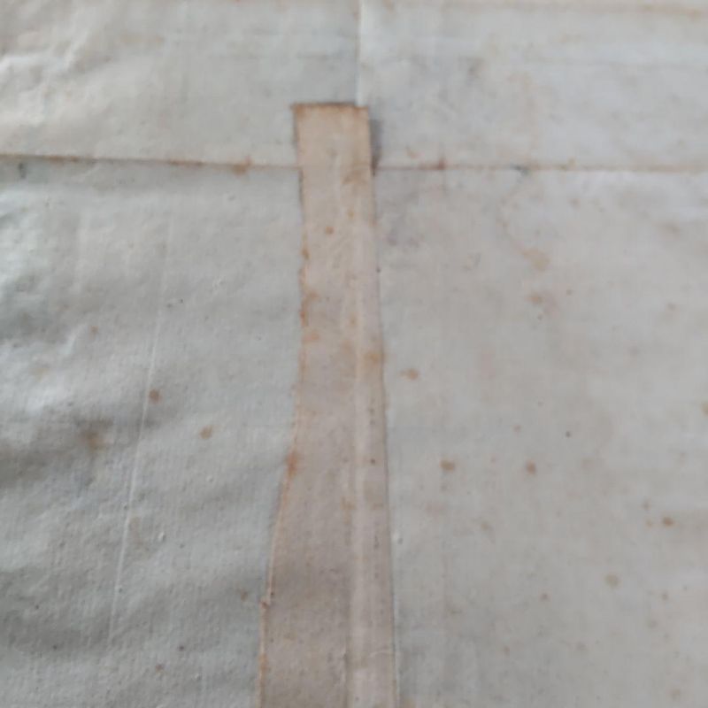
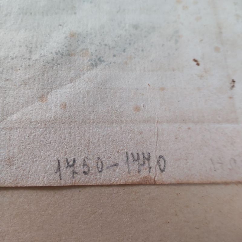
This is a map of the Kuril Islands, created and engraved by Laurent, dating from the latter half of the 18th century, 1760-1780. The map was produced in Europe in French, depicting the northern islands of Japan, with a small depiction of Hokkaido. The dimensions are 280 mm in width and 260 mm in height.
- 로트
- 301261
- 카테고리
- 수집품
배송
작품 소재지: Osaka, Japan
결제 후 7~10일 이내에 일본에서 발송됩니다. 배송비는 구매자 부담입니다.
결제
낙찰 후 청구서와 결제는 공식 입찰 플랫폼 bid.liveauction.jp에서 진행됩니다.
경매 정보